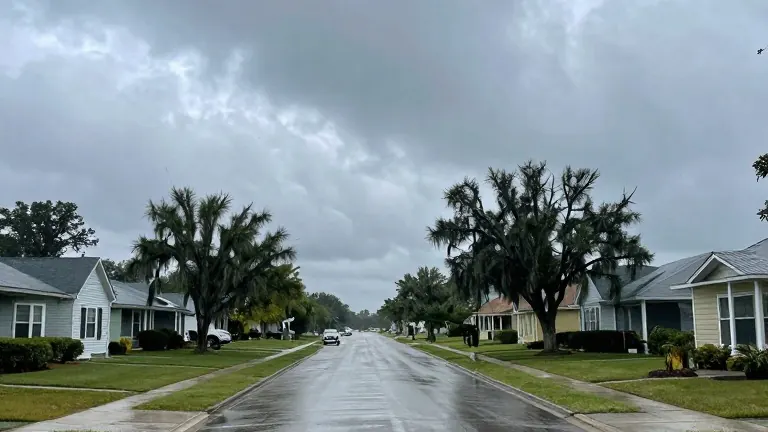
Boston Weather: Election Day Warmth Followed by Long-Delayed Rain
Temperatures will spike ten degrees above average through Thursday, potentially breaking a 15-day dry streak before unsettled weather arrives.
By Miguel Navarro ·
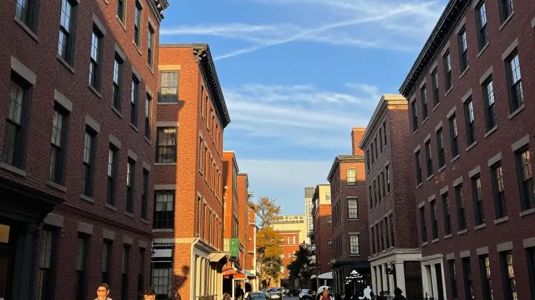
Residents in the Boston area face a sharp contrast in weather patterns this week, moving from a cold start to a warm midweek stretch before rain returns. The shift creates specific conditions for voters heading to the polls on Tuesday, with temperatures rising significantly as the day progresses.
The forecast begins with a cold morning but settles into highs in the mid to upper 50s and low 60s for Sunday. These temperatures align with typical averages for the season. By Monday, the weather turns milder, with highs reaching the mid to upper 60s. Some locations may hit 70 degrees between Monday and Thursday, which is approximately 10 degrees above the historical average for this time of year.
This warm spell gives the week a September-like feel rather than a November one. Sunlight remains abundant on Monday, though high clouds will begin to increase as Tuesday approaches. Voters on Election Day should expect chilly conditions when polls open, requiring a jacket in the morning. However, afternoon temperatures will be warm enough for short sleeves by the time voting concludes.
The weather pattern shifts again on Wednesday, bringing a mix of sun and clouds. The primary focus of the forecast, however, is Thursday afternoon, which presents the next significant chance for measurable precipitation. This potential rain would interrupt a long stretch of dry weather in the city.
Before Thursday, Boston has already recorded 15 days without measurable rain. If no rain falls from Sunday through Wednesday, the dry streak will reach 19 days. Meteorologists indicate that low pressure systems will take control of the region later in the week, bringing unsettled conditions to Thursday, Friday, and Saturday.
The arrival of this low pressure aims to balance the scales after the extended dry period. While the exact timing and intensity of the late-week rain remain subject to some model discrepancy, the trend points toward a wetter finish to the week. Residents are advised to monitor updated forecasts as the weekend approaches.
Source: WHDH